


The Global Positioning System GPS is a satellite navigation system comprised of a network of 24 satellites orbited by the US Department of Defense. It was originally intended for military use, but the government made it available for civilian use in the 1980s. It works in any weather condition, 24 hours a day, anywhere globally. There are no subscription or setup fees for using It.
Table of Contents
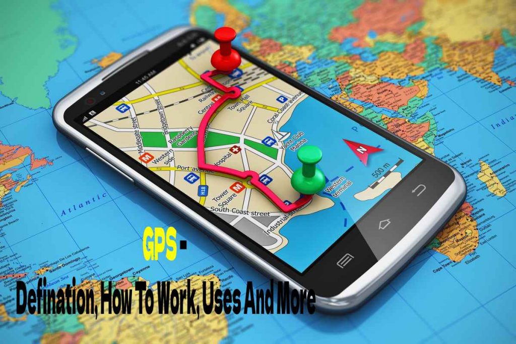
How Does A GPS Work?
What exactly is it? GPS satellites circle the earth twice a day in an exact orbit, transmitting signal data to the ground. It receivers use triangulation to calculate the user’s actual location based on this information. It receiver essentially compares the time a satellite transmits a signal to when it will receive it. The time difference informs the GPS receiver of the satellite’s location. The receiver can now determine the user’s position and display it on the unit’s electronic map using distance measurements from a few more satellites.
To compute a 2D position latitude and longitude and track movement, a GPS receiver must connect to the signal from at least three satellites. The receiver can determine the user’s 3D position when four or more satellites are in view . After selecting the user’s location, the GPS unit can calculate other data such as speed, heading, track, travel distance, distance to destination, sunrise and sunset times, and more.
Also Read: The Best Digital Signature Apps
Who Uses A GPS?


A It has a variety of applications on land, at sea, and in the air. It can use everywhere except where signal reception is impossible such as inside most buildings, caves and other underground places, and underwater. The most common aerial applications are for general aviation and commercial aircraft. It is also typically used for navigation by recreational boaters, commercial fishers, and professional sailors at sea. Land-based applications are more diverse. The scientific community uses GPS to accurately time and position information.
Surveyors use GPS for much of their work. It offers cost savings by dramatically reducing setup time while providing incredible accuracy. Basic survey units, which cost thousands of dollars, can offer up to one-meter accuracy. More expensive systems are available that can provide accuracies within a centimetre.
Recreational uses for GPS technology are almost as varied as the number of sports available. It is popular with hikers, hunters, snowmobilers, mountain bikers, and cross-country skiers, to name a few. Anyone who needs to keep track of where they are, find their way to a specified location, or know which direction to go.
GPS is now a standard tool in cars. Some basic systems are in place and provide emergency roadside assistance at the push of a button (by transmitting your current position to a data centre). There are also more sophisticated systems that show your place on a street map. Currently, these systems allow a driver to keep track of where he is and suggest the best route to follow to reach the designated location.
How Accurate Is A GPS?
Today’s GPS receivers are extremely accurate, thanks to their parallel multi-channel design. Garmin’s 12 similar channel receivers quickly lock onto satellites when turned on and maintain strong connections, even in dense forest or urban settings with tall buildings. GPS receivers are accurate to within 15 meters on average. Certain atmospheric factors and other sources of error can affect the accuracy of GPS receivers.
Garmin’s new GPS receivers with WAAS (Wide Area Augmentation System) capability can improve accuracy to less than three meters on average. No additional equipment or fees are required to take advantage of WAAS. Users can also get better accuracy with Differential GPS (DGPS), which corrects GPS signals to an average of three to five meters. The United States Coast Guard operates the most common DGPS correction service. This system consists of towers that receive GPS signals and transmit a signal corrected by beacon transmitters. To get the corrected signal
Also Read: What Exactly Is VPN, And Why Do I Need It?
Review GPS – Defination, How To Work, Uses And More. Cancel reply